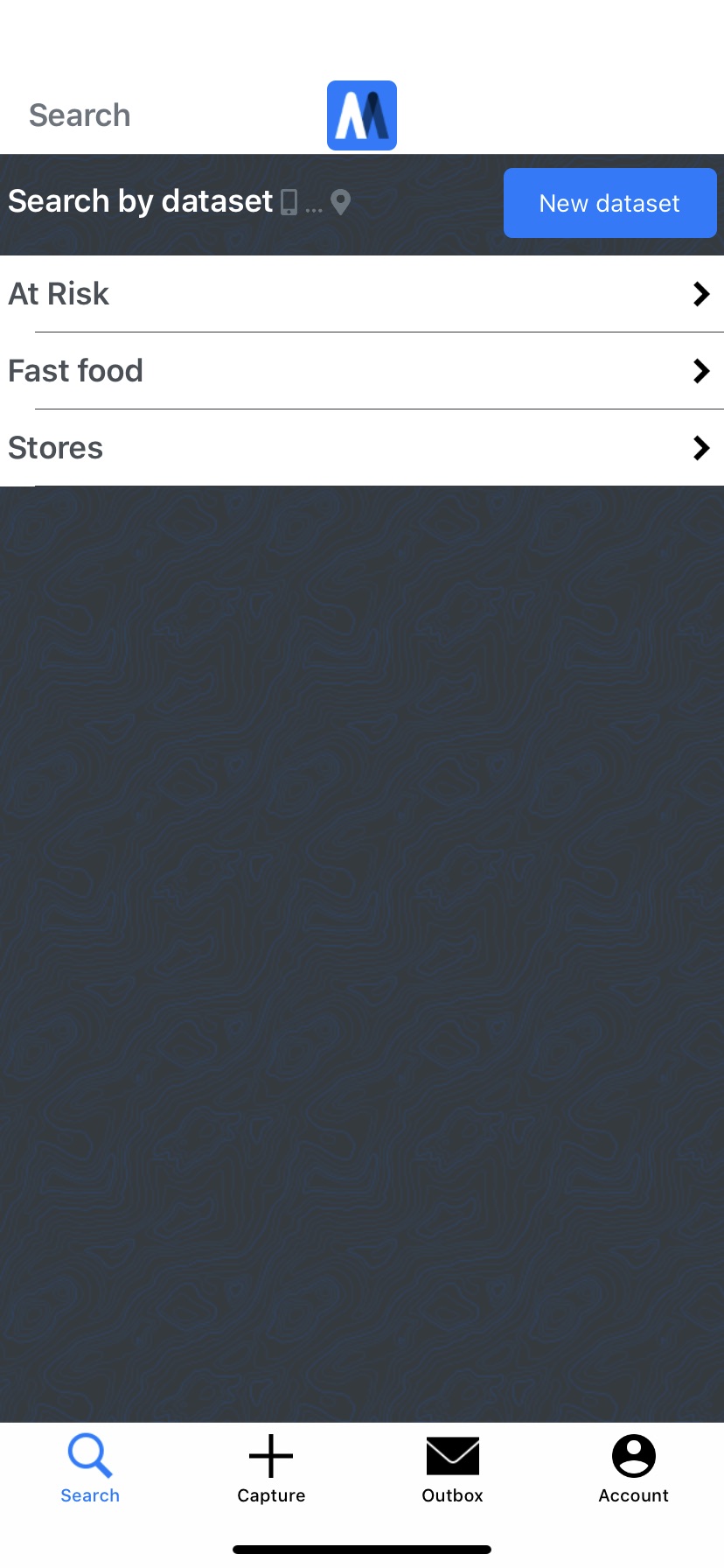
As part of your Mapcite Web account discover and capture data on the move with Mapcite's mobile app. Would you create a new real-estate application? Capture those great fishing spots? Would you help others by sharing local info? Or create the next Pokémon Go?
Mapcite's app lets you:
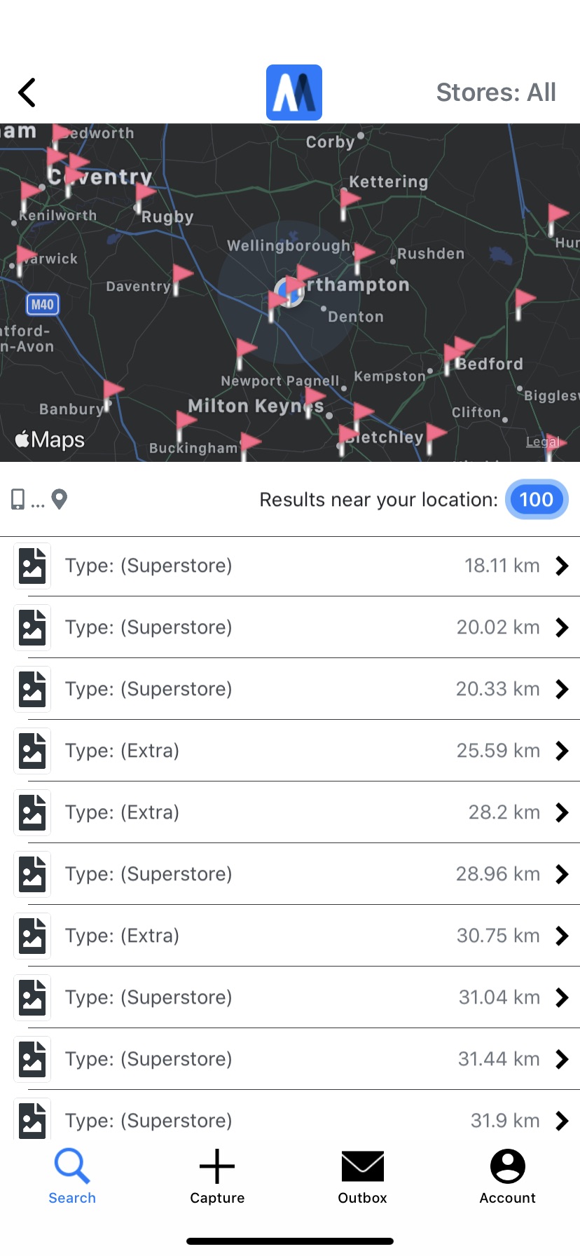
Search your information based on your device's current location
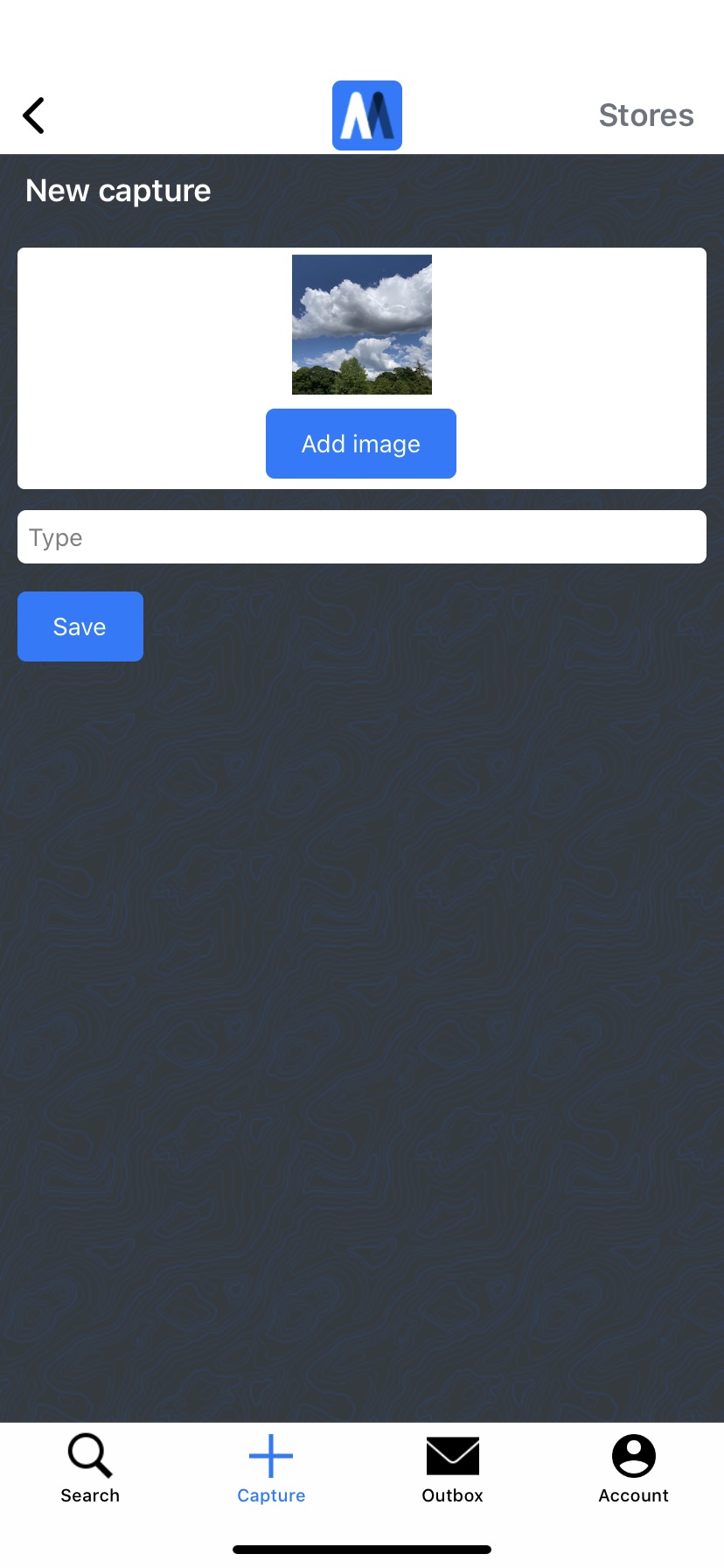
Capture new information and images based on your device's location
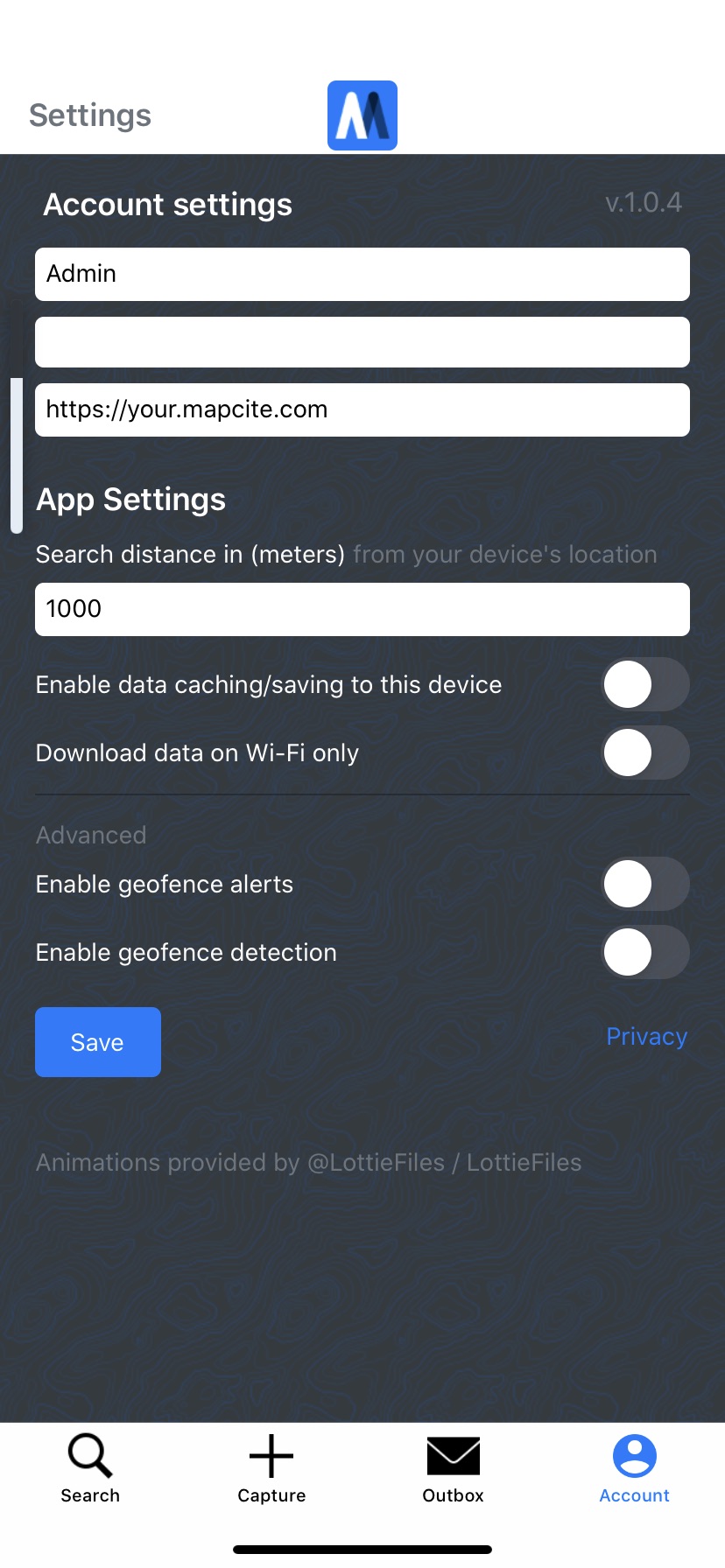
Set geofences (virtual boundaries around real-world locations) to create triggers for information discovery
Example - Location Data Capture
The Challenge
Animal charities collect intelligence from members of the public and field agents. However, the ability to understand and interpret the scale, concentration and sequence of events is difficult, without the ability to visualise it in a spatial context.
Actionable Information
The Solution
The Mapcite Platform provides an environment where disparate intelligence data can be visualised together. The map-based UI enables multiple datasets to be overlaid, filtered and shown in the timeline sequence, showing the concentration, type and growth of issues in any locality. This curated and analysed data enables evidence-driven dialogue with key stakeholders.
The Benefit
New ability to capture information from the field
Analysts have a new, easy to use, visual geographic context to identify previously unseen relationships


